

Start garden drainage planning with a record of what the water does, not a trench. Revisit the garden after more than one spell of rain, mark the places that stay wet, and trace the visible surfaces feeding them. Then note the buildings, routes and boundaries that any change must protect.
A phone photo cannot tell you whether a puddle comes from surface runoff, compacted soil, groundwater or damaged infrastructure. It can help you organize the clues for someone who can inspect the site. Pipe work, new levels, outlets, permissions and any work near a building need local professional assessment.
Photograph the same wet spots again
Take one wide reference photo from a fixed position, then make close photographs of every repeated wet patch. Return while the rain is easing and once the rest of the garden has begun to dry. Record the time, which surfaces are still wet and whether the patch has moved or changed shape.
The RHS drainage guide starts with identifying poorly drained areas and testing how serious the problem is. It says surface puddling can point to compaction, while natural springs and broken pipes are also possible causes. These are reasons to investigate, not diagnoses you can make from a picture.
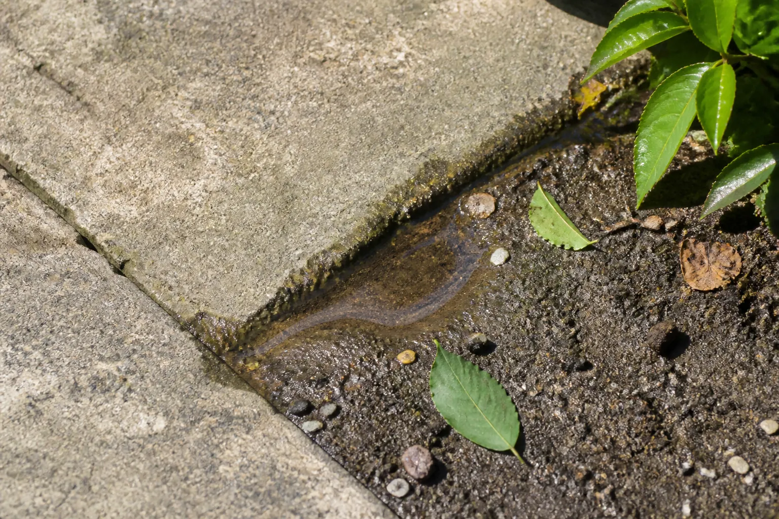
Keep people off saturated soil where possible. Foot traffic can make compaction worse and can blur the small channels or silt marks you are trying to observe. If water is entering a building, collecting against a wall, affecting an essential route or returning during dry weather, stop the design exercise and arrange an inspection.
Map where water arrives and gathers
On a rough plan, mark roof downpipes, taps, drains, hard surfaces, open soil and visible changes in level. Add arrows only where you have actually watched water move. A stain or a line of shifted grit can support the note, but it still does not explain what lies below the surface.
Look for three separate things: inputs, low points and possible escape routes. Inputs include visible runoff from paving or a downpipe outlet. A low point is where water repeatedly settles. A possible escape route is simply an area worth assessing, not permission to send water there.
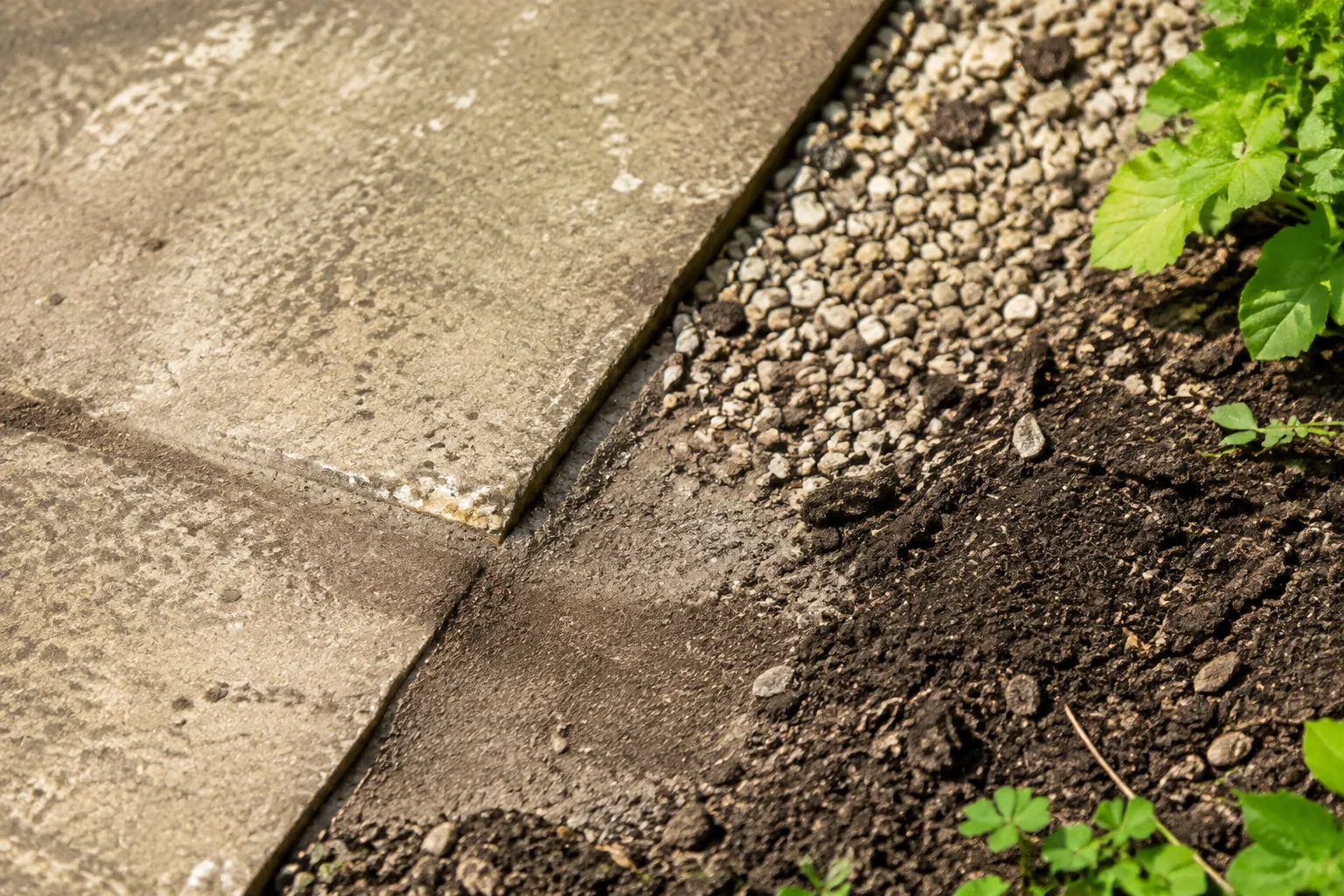
The RHS notes that drainage only works when surplus water has somewhere suitable to go, and that large piped systems are skilled work. Do not move water toward the house, a neighbour or an unverified drain. A local professional can check actual levels, soil conditions, underground services and the rules that apply to an outlet.
Separate surface clues from hidden questions
Group your notes without naming a cause. Water visibly crossing paving is a surface clue. A hard, worn patch that puddles is consistent with compaction, but does not prove it. Several wet areas that behave alike may raise a groundwater question. One patch that remains unusual when nearby ground dries may justify checking pipes or drains.
This distinction matters because the same visible puddle can lead to very different work. Digging first may hide the evidence, disturb services or create a new route toward somewhere that must stay dry. Keep the original photos and put every unverified explanation on a questions list.
This is narrower than planning a whole sloped backyard. It starts with repeated water behavior in one garden, even when the plot looks flat. If you are still deciding every route and use zone, settle the broader garden layout separately.
Use one render for broad relationships only
Once the map is clear, a Gardenly image can help compare the visible balance between hard surface, open ground and planting. Take a current photo that shows the wet area and the route or building you need to protect. Choose one of the Gardenly styles and generate one direction.
The model is instructed to keep the house, hardscape, camera position and lighting unchanged. That instruction is not a guarantee. Compare the render with the source photo, and ignore any altered level, invented channel, drain or pipe.
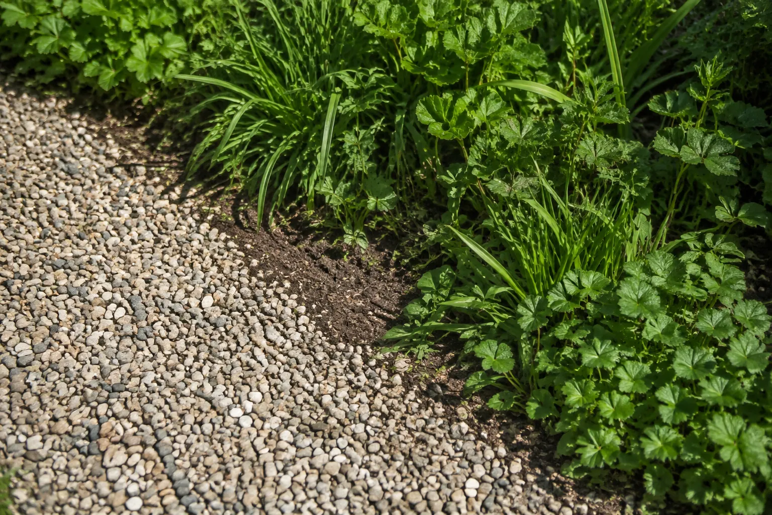
Judge only the broad visual relationships. Would less hard surface leave enough useful route? Does a larger planted area overwhelm the space? Is the building edge still clear and reachable? The render cannot show infiltration capacity, calculate a fall or prove that a proposed outlet is safe.
Hand over the evidence before choosing work
Give the professional your dated photographs, rough water map and list of protected buildings and routes. Include the original photo beside the one render, with any invented details crossed out in your notes. Ask them to identify the cause, measure levels, check services and confirm where water may legally and safely go.
That handoff keeps the attractive surface idea in its proper place. It can guide a conversation about open ground and planting. The site assessment decides whether the answer involves soil care, surface changes, water storage, an open feature or technical drainage.